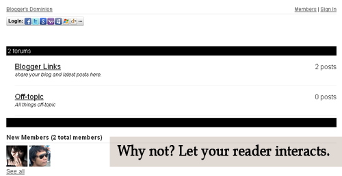
Let's see how it look like first. Is it good? Now, see it live. Click here . Then click the Forum Tab , wait 'til it loads. How to do it? Actually, it's very easy. 1. Just go to this site and sign-up. 2. Then go to your Blogger Dashboard > Edit Posts or New Posts > Edit Pages > Create New Page. 3. Name your page as Forum or anything you want. 4. Click Edit HTML 5. Paste the script that is given by tal.ki. The script looks like this. <script src='http://j9tjfgzo57.embed.tal.ki/embed/1.js' type='text/javascript'/><div id='j9tjfgzo57t4lk1prm0' style='font-size:80%; text-align:center;'>get your own <a href='http://tal.ki?utm_source=install&utm_medium=link&utm_campaign=get_your_own'>embeddable forum</a> with Talki</div> 6. Preview, if it's fine. Publish it! That's it!
So, this game is GOOD!!! Why? PANTSU Characters can jump Anime-like characters Skill has cooldown Transportation Pets Lots of Quest (with hints and location indicator) Has 5 Classes and Subclasses Soul System( After each encounter with a monster or an evil spirit, you can receive a Chaos Soul from the fallen creature. ) Dungeon (Solo, Party, Infinite) PVP is FAIR( stats and gear are normalized between all participating players for a fair fight. ) Lots of skill (cool animation) Downside: Gender lock classes Burns my laptop (HAHA; 4GB RAM, 4GB Graphics, i5) reaches up to 80C Movement Controls Awkward looking Rouge Class (HAHA) Actually, I just played Echo of Soul today and my character is an Archer -> Huntress and lvl. 15. I'll update this soon. Off-topic:


Comments
Post a Comment
Feel free to ask, suggest and comment regarding this post/blog. You can also contact me through e-mail, just always use the contact page. Thank you for visiting this blog.